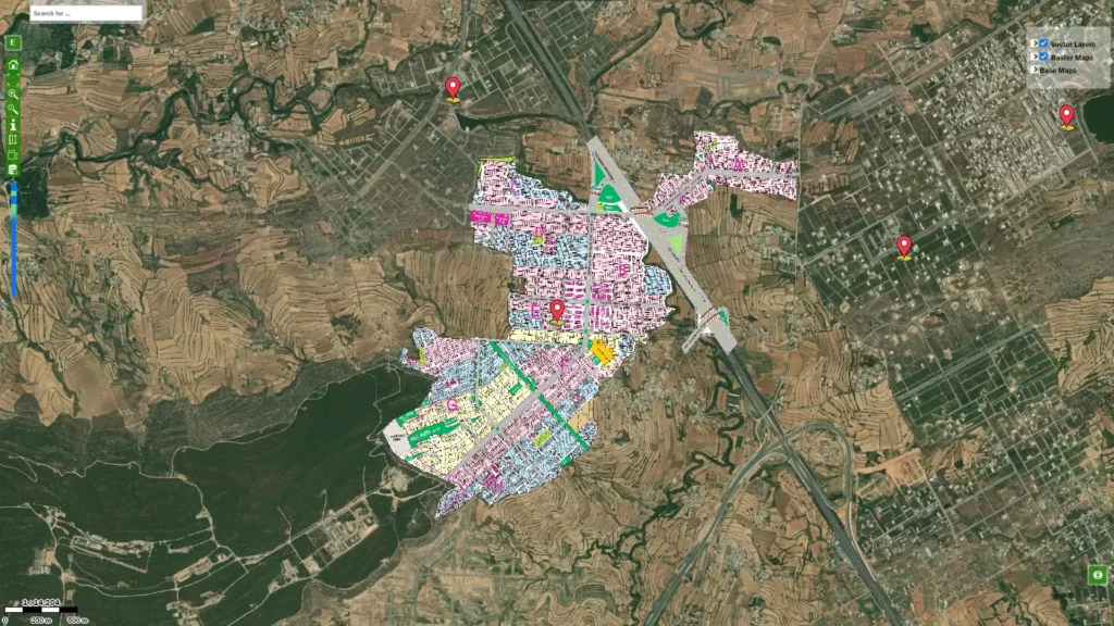
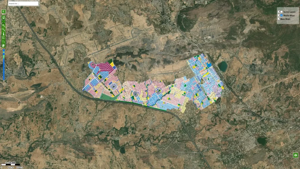
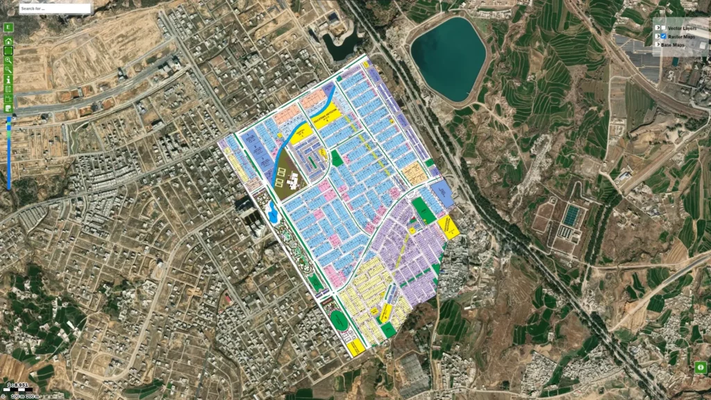
I-16 is an emerging sector between M-2 Motorway and the main GT Road. Like all other sectors, this has four sub-sectors, I-16/1, I-16/2, I-16-3, and I-16/4. It is a bordering sector of the capital city in the neighborhood of Sector I-14, I-15, NUST College of Electrical and Mechanical Engineering, Rehman Town, Kohi Noor Sugar Mills Limited, Gulshan-e-Fatima, and Jhangi Syedan.
With the availability of a massive road network around the area, Sector I-16 maintains a smooth connection with all the areas of the twin cities. A direct link with IJP Road helps it connect with Murree Road. Which further opens access to Chak Shehzad, Bani Gala, Farash Town, Ali Pur, Chatta Bakhtawar, Naval Anchorage, Park View City, Park Enclave, Bahria Enclave, and Barakah.
At Faizabad Interchange, IJP Road diverts to Islamabad Expressway. This connects the sector with Rawat and other twin city areas, for example, Bahria Town, DHA, PWD, Pakistan Town, Korang Town, Humak Town, and CBR Town. Kashmir Highway opens the horizon more for the residents of I-16. Connect them to areas in the western part of the capital city, TopCity-1, Mumtaz City, B-17, Jammu and Kashmir Housing Society, and New Islamabad International Airport.
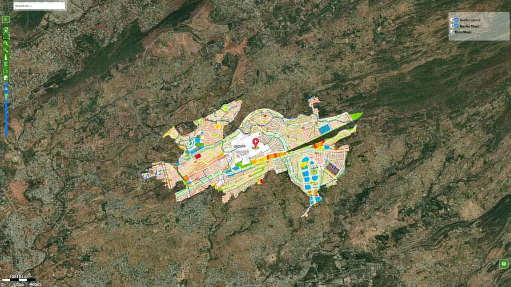
Renowned town planners perfectly plan the sector. It features commercial markets where different ventures offer different commodities to the residents, including financial institutions and groceries. Parks, playgrounds, and fitness centers are available to ensure residents live healthy lifestyles.